OK: I take absolutely ZERO <cr> for this....and it may well be common knowledge.........
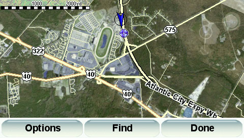
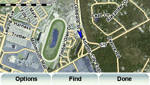
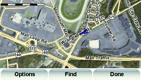
But I checked out this link that ChillyCat put up in the POI subforum and oh man...when you go to browse map...if ya zoom out at about 0 - 50km the map changes to Google Earth...very kewl in my humble opinion..!!
heres the link: http://www.janboersma.nl/gett/index.php
The Program is called TYRE. More for itinerary and POI (why I DL'd it). Just now starting to mess with tyre...but noticed this and thought it was kinda neat.! It was one of those Gosh - Gee Whiz things ya know.?
What an awesome pce of equipment this TT is. I am forever thankfull I researched a bit and decided on the 720 over a Garmin 660.
Cheers,
stk
Last edited: