- Joined
- Dec 8, 2022
- Messages
- 3
- Country

- TomTom Model(s)
- VIA 280
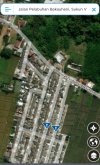
Hi All,
Why imagery in MSR now is not clear. Though the initial release was very clear.
Best Regards,
Adi
Why imagery in MSR now is not clear. Though the initial release was very clear.
Best Regards,
Adi